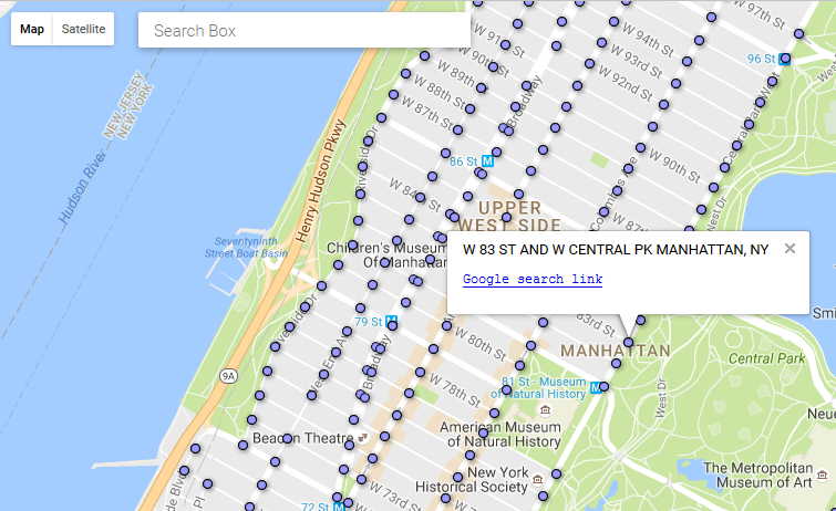
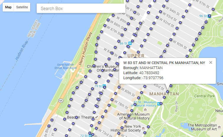
A Google Map that uses a Fusion Table Layer to display NYC Street Intersections. A companion csv file is used to display (private) additional information when the corresponding marker is clicked. The csv is read using AlaSQL; this library also makes querying for marker data fast and easy.
*Note: some of lat/lng pairs for NYC street intersections may be inaccurate (mismatched), and many may be missing (they were extracted using Google Maps API Text Search on a list of Street Intersections which had its own inaccuracies/issues).
Click here to go to the Google Maps API doc page for Fusion Tables layers
Click here to see the interactive map with all the markers (on Fusion Tables)
Click here to see the interactive map with all the markers (on Bing Maps using sqlite)
Click here to see the interactive map with all the markers (on Bing Maps using csv - faster)
The picture below shows what the infowindow looks like when a marker from the Fusion Table Layer is clicked and data for that latitude/longitude is found in the source csv file (e.g. intersectionlatlngs.csv):

The picture below shows what the infowindow looks like when a marker from the Fusion Table Layer is clicked and data for that latitude/longitude is NOT found in the source csv file (the contents for the infowindow are formatted based on the set template in the Google Fusion Table):
